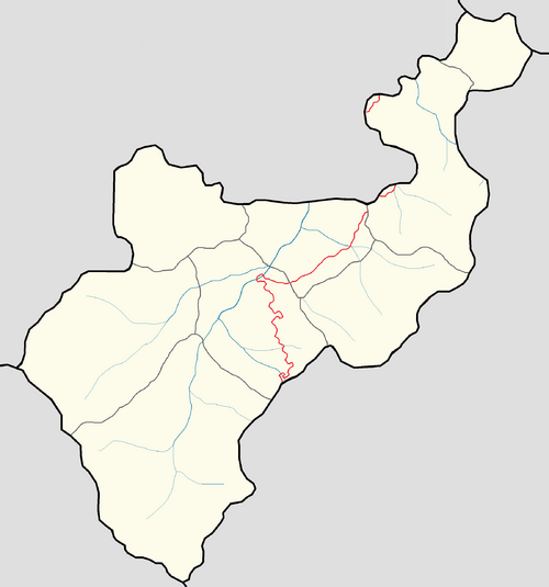
Template:Lemovicia labelled map: Difference between revisions
Jump to navigation
Jump to search
mNo edit summary |
mNo edit summary |
||
| Line 10: | Line 10: | ||
{{Image label small|x=-260.0|y=-210.0|scale={{{width|-1}}}|text=[[Lautada Province|Lautada]]}} | {{Image label small|x=-260.0|y=-210.0|scale={{{width|-1}}}|text=[[Lautada Province|Lautada]]}} | ||
{{Image label small|x=-305.0|y=-285.0|scale={{{width|-1}}}|text=[[Egunsentian Province|Egunsentian]]}} | {{Image label small|x=-305.0|y=-285.0|scale={{{width|-1}}}|text=[[Egunsentian Province|Egunsentian]]}} | ||
{{Image label small|x=-430.0|y=-50.0|scale={{{width|-1}}}|text=[[ | {{Image label small|x=-430.0|y=-50.0|scale={{{width|-1}}}|text=[[Corridor Security Zone|CSZ]]}} | ||
{{Image label small|x=-390.0|y=-175.0|scale={{{width|-1}}}|text=[[Zelaja Province|Zelaja]]}} | {{Image label small|x=-390.0|y=-175.0|scale={{{width|-1}}}|text=[[Zelaja Province|Zelaja]]}} | ||
<!-- | <!-- | ||
