Category:Maps of Orioni: Difference between revisions
Jump to navigation
Jump to search
mNo edit summary |
mNo edit summary |
||
| Line 3: | Line 3: | ||
== Summary == | == Summary == | ||
[[Category:Maps]] | [[Category:Maps]] | ||
[[ | [[Category:Maps by country]] | ||
[[Category:Orioni]] | [[Category:Orioni]] | ||
Revision as of 16:19, 15 May 2020
This category and its subcategories are for articles and media related to maps of Orioni.
Summary
Media in category "Maps of Orioni"
The following 12 files are in this category, out of 12 total.
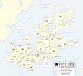
- Administrative divisions of Orioni.png 2,000 × 1,816; 443 KB
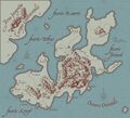
- Historical map of Orioni.jpg 2,000 × 1,816; 377 KB
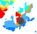
- Koppen climate classification map of Orioni.png 2,000 × 1,816; 64 KB
- Location of Orioni.png 2,000 × 1,000; 90 KB
- Map of Amari culture.png 2,000 × 1,817; 220 KB
- Map of Burkini.png 500 × 350; 24 KB
- Map of Opolis metro system.png 1,030 × 705; 127 KB
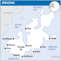
- Map of Orioni.png 2,000 × 2,000; 99 KB
- Map of Rohini.png 500 × 300; 35 KB
- Orinese colonial empire.png 1,523 × 1,091; 65 KB
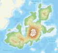
- Physical map of Orioni.png 2,000 × 1,816; 218 KB
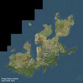
- Satellite image of Orioni.jpg 2,000 × 2,000; 381 KB
