List of Zamastanian Maps
Jump to navigation
Jump to search
This page is a collection archive for viewing and usage of variations of Zamastan maps.
Political
| Design | Notes |
|---|---|
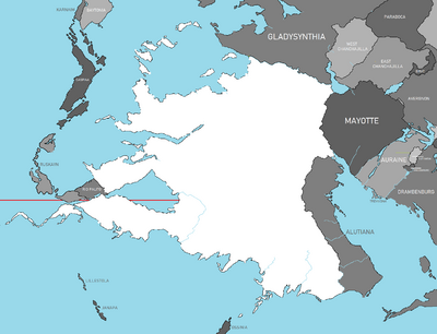 |
Blank map of Zamastan |
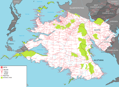 |
A map of cities in Zamastan |
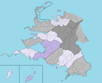 |
Voting and representatives map of Zamastan |
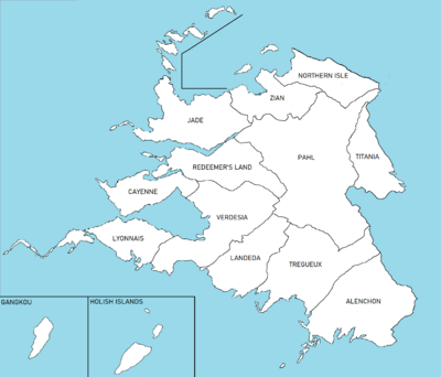 |
Map of Zamastan's Administrative Districts |
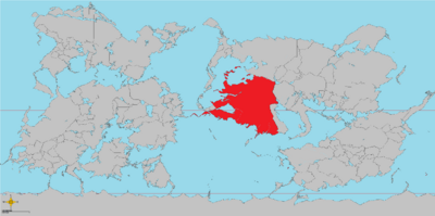 |
Zamastan's location on Iearth |
Geographical
| Design | Notes |
|---|---|
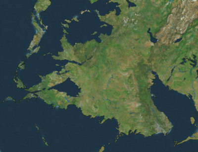 |
Satellite image of Zamastan |
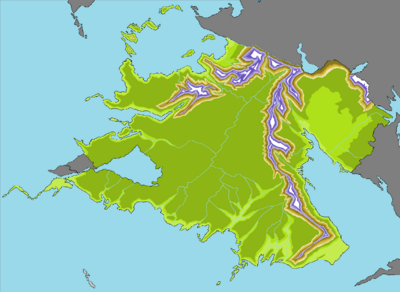 |
Topographical map of Zamastan]] |
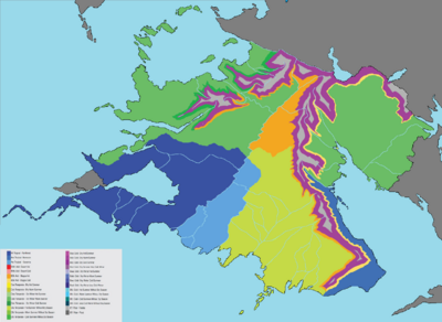 |
Köppen climate classification Map of Zamastan. |