File:Saint George Island.png
Jump to navigation
Jump to search
Size of this preview: 624 × 600 pixels. Other resolutions: 2,130 × 2,048 pixels | 2,600 × 2,500 pixels.
Original file (2,600 × 2,500 pixels, file size: 253 KB, MIME type: image/png)
Summary
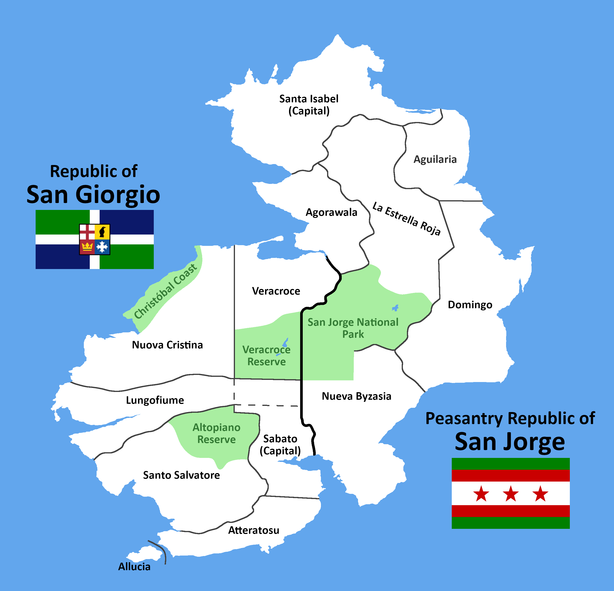
A map of both San Giorgio and San Jorge, their subdivisions, and national parks.
File history
Click on a date/time to view the file as it appeared at that time.
| Date/Time | Thumbnail | Dimensions | User | Comment | |
|---|---|---|---|---|---|
| current | 15:10, 14 August 2022 | | 2,600 × 2,500 (253 KB) | TheRandomHat (talk | contribs) | A map of both San Giorgio and San Jorge, their subdivisions, and national parks. |
You cannot overwrite this file.
File usage
The following 2 pages use this file: