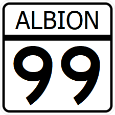
Albion State Route 99

Revision as of 07:08, 2 October 2023 by Jwill96 (talk | contribs) (Created page with "right|300px {{Infobox road |length_mi=592 |length_ref= |formed=1945 |direction_a=South |terminus_a= 25px|link=Interstate 75File:AL-2.png...")
(diff) ← Older revision | Latest revision (diff) | Newer revision → (diff)
Jump to navigation Jump to search
AL-99.png
Route information
Length592 mi (953 km)
Existed1945–present
Major junctions
South endI-75.svgAL-2.png in Conners Crossing
 
  • I-50.svg
  • US 259.svg
  • I-75.svg
  • US 74.svg
  • I-70.svg
  • US 50.svg
West endAL-17.png in Montgomery

Albion State Route 99 (SR 99) is a north-south major state highway crossing Albion. The majority of its route follows Interstate 75 south of Hampton. North of Hampton, the highway bypasses St. Clarke to the east and serves Tyler and Lebannon.

Major intersections

County Location Destination
Anderson Conners Crossing I-75.svgAL-2.png - Paris
May Deer Valley AL-142.png - Falls Church, Afton
Marble Marble City I-50.svg - Houston, Junction
Park Concord US 259.svgAL-211.png - Downtown, Briggs, Brownwood; Begin IR-259 concurrency
US 259.svg - Luttrell; End IR-259 concurrency
Lark River
Warner Dedham I-75.svg - St. Clarke, Junction
AL-45.png - Varnell, Brownwood
Kemah Rice AL-6.pngAL-6b.png to AL-121.png - Rockdale, Quinton; Begin Bus Rt. 6 Concurrency
Virginia AL-6b.png to AL-6.png - Powell; End Bus Rt. 6 Concurrency
Rains River
Rice I-75.svg - St. Clarke, Junction
Powell Cairns AL-35.png - Powell, Charleston
Alice Alice AL-215.png - Riverside, Chester
Warroad Grandview AL-215.png - Riverside
Charles River
Reagan I-75.svg - St. Clarke, Junction
AL-41.png - Fayetteville, Seymour
Levant Lebannon AL-211.png - Seymour
St. Clarke River
US 74.svgAL-1.png - Woodbury, Philmont, Weschester
Tyler Tyler I-75.svg - St. Clarke, Nevada
US 50.svg - Hoffman, Arcadia
Montgomery Neches AL-281.png - Menard
Montgomery AL-17.png - Martindale, Boston