Amoujawat province
Jump to navigation
Jump to search
Amōujawat
جَتيِ اموُجَوِت | |
|---|---|
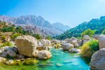
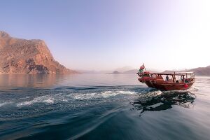
(clockwise from upper-left): Khakhebakht Bay, Finahir Old City, Medouahe City, Amoujawat oasis, Upper Ngo River | |
| Motto(s): Amoujawat, mother of rivers, home of the Sokhaos, province of open arms | |
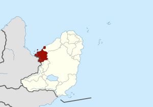
 Map of Rhava highlighting Amoujawat province | |
| Country | Rhava |
| Capital | Khakhebakht City |
| Government | |
| • Governor | Sēmād Khwajwm (سيِماد كوَْجوُم) (since September 2020) |
| Area | |
| • Total | $$$ km2 (Formatting error: invalid input when rounding sq mi) |
| • Rank | Ranked X |
| Population (2018) | |
| • Total | $$$ |
| • Rank | Ranked X |
| • Density | 123/km2 (320/sq mi) |
| • Rank | Ranked X |
| Human Achievement Index | |
| • HAI (2017) | 0.5886 "average" Ranked 36th |
| Time zone | UTC-2 (UCT) |
| Postal code | 02312 |
| Calling code | 781 |
| ISO 3166 code | TH-26 |
| Website | ww2 |
Amoujawat (Rha: اموُجَوِت, pronounced [amud͡ʒawaːt] is the north-western most province (chhati) of Rhava. Amoujawat is separated into the main province, and Sufarah enclave to the east.
Neighboring provinces are (from east clockwise) Bahāt, Lomrhā (region of Greater Rhava), and Khnemôk.
Amoujawat is known for it’s arid climate, sandy coastline, Ngô river delta, and Sin-daw island
Etymology
Amou in Sokhaos means mother
Jwt is another way of saying river in Sokhaos, the other way being Nahir.
History
Migration from mainland Alharu lead Paranic peoples to the northern


