User:Lyonsland/sandbox3
Jump to navigation
Jump to search
s'Holle | |
|---|---|
From top down, left to right: the city skyline, St. Charles Cathedral, the s'Holle Broadcasting Tower, Elsenplein central square, the Senaatsgebouw, and Cornelissen Park | |
|
Coat of arms of s'Holle Coat of arms | |
| Nickname: The Home of Hennehouwe | |
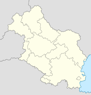
Location within Hennehouwe | |
| Country | |
| Region | s'Holle |
| Government | |
| • Body | s'Holle City Assembly |
| • Mayor–Governor | Marijne Tijhoff (SAP) |
| • Governing parties | SAP, VDP and Groen |
| • First Chamber seats | 7 (of 60) |
| • Second Chamber seats | 21 (of 180) |
| Area | |
| • Region | 432 km2 (167 sq mi) |
| • Metro | 1,803 km2 (696 sq mi) |
| Population | |
| • Region | 1,413,551 |
| • Rank | 1st (Hennehouwe) |
| • Density | 3,300/km2 (8,500/sq mi) |
| • Metro | 2,741,380 |
| Demonym | s'Holler |
| Time zone | UTC+0 (Euclean Standard Time) |
| Postal code(s) | |
| Official languages | |
| Website | sholle |
s'Holle is the capital and most populous city of Hennehouwe. The city proper has a population of 1,413,551 and a metro population of 2,741,380 as of the 2018 census. One of the ten constituent regions of Hennehouwe and one of only two to be perscribed as a city region, s'Holle is wholly surrounded by the region of Flamia, of which the city was historically part of. The city is situated upon the southern end of the River Hol, from which its name is derived.


