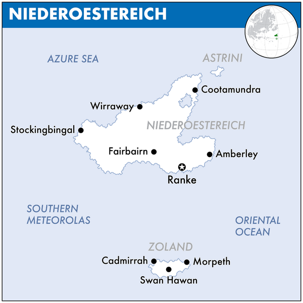
File:Map of Niederoestereich.png
Jump to navigation
Jump to search

Size of this preview: 600 × 600 pixels. Other resolution: 2,000 × 2,000 pixels.
Original file (2,000 × 2,000 pixels, file size: 159 KB, MIME type: image/png)
Summary
File history
Click on a date/time to view the file as it appeared at that time.
| Date/Time | Thumbnail | Dimensions | User | Comment | |
|---|---|---|---|---|---|
| current | 17:15, 11 March 2024 | | 2,000 × 2,000 (159 KB) | Orioni (talk | contribs) | |
| 15:45, 4 September 2021 |  | 298 × 317 (63 KB) | Orioni (talk | contribs) | Category: Niederoestereich Category: Maps of Eurth |
You cannot overwrite this file.
File usage
The following page uses this file: