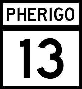
National Route 13
Jump to navigation
Jump to search
| Route information | |
|---|---|
| Length | Formatting error: invalid input when rounding mi (0 km) |
| Existed | 1920–present |
| Major junctions | |
| South end | |
| North end | |
| mi | km | |
|---|---|---|
| Pantera | tbd | tbd |
| Robada | tbd | tbd |
| Cataldo | tbd | tbd |
| Total | tbd | tbd |
National Route 13 (NR 13) is a north-south Pherigo National Highway that runs the width of Pantera, then crossing a narrow section of Robada, before running just a few miles into Cataldo.
Major intersections
Pantera
| County | Location | Destination |
|---|---|---|
| Snider | Green Bay | |
| Andrews | ||
| Starr | Woodville | |
| Sutton | Gresham | |
| Pantera City | ||
| South | ||
| Pantera River | ||
| North | ||
| Benoit | Austell | |
| Wolf | Pansey | |
| Roswell | ||
| Cedar Springs | ||
| Trenton | ||
| Kupacia River | ||
Robada
| County | Location | Destination |
|---|---|---|
| Kupacia River | ||
| Cox | Carlin | |
| Empire | ||
| Pherigo River | ||
Cataldo
| County | Location | Destination |
|---|---|---|
| Pherigo River | ||
| Wright | New Lebannon | |
