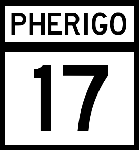
National Route 17
Jump to navigation
Jump to search
| Route information | |
|---|---|
| Length | 688 mi (1,107 km) |
| Existed | 1920–present |
| Major junctions | |
| South end | |
| North end | |
| mi | km | |
|---|---|---|
| Robada | 153 | 146 |
| Jefferson | 68 | 109 |
| Cataldo | 136 | 219 |
| Calpurnia | 165 | 266 |
| Total | 522 | 888 |
National Route 17 (NR 17) is a North-South major Pherigo National Highway that runs through central Pherigo, from Hattiesburg in the south, to Bayside in the north. The route serves the major inland cities of Las Venturas, Attlewick, Taiyavia City, and Aspermont.
Major intersections
Robada
| County | Location | Destination |
|---|---|---|
| Chandler | Riverside | |
| Cotterill | Wendover | |
| Brasher | McFarland | |
| Las Venturas | ||
| Stetmore River | ||
| North Las Venturas | ||
| Ruth |
Jefferson
| County | Location | Destination |
|---|---|---|
| Lancaster | Pearce | |
| Attlewick | Attlewick | |
| Attlewick River | ||
| Sanders River | ||
| Plains | Bridge City | |
Cataldo
| County | Location | Destination |
|---|---|---|
| Kirk | Bedford | |
| Whitestone | ||
| Taiya River | ||
| Taiyavia City | ||
| Moore | Ridgewood | |
| Paterson | ||
| Nazareth | ||
| Jefferson River | ||
Calpurnia
| County | Location | Destination |
|---|---|---|
| Jefferson River | ||
| Henry | Aspermont | |
| Tasse | Columbus | |
| Coleto River | ||
| Dyson | ||
| Windsor | ||
| Cannon | Mildred | |
| Bayside | ||
