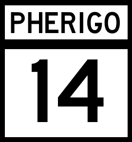
National Route 14
Jump to navigation
Jump to search

| Route information | |
|---|---|
| Length | 688 mi (1,107 km) |
| Existed | 1920–present |
| Major junctions | |
| South end | |
| North end | |
| mi | km | |
|---|---|---|
| Pantera | 154 | 248 |
| Robada | 326 | 525 |
| Jefferson | 205 | 330 |
| Mentone | 3 | 5 |
| Total | 688 | 1107 |
National Route 14 (NR 14) is a North-South major Pherigo National Highway in that follows the Robada River through southern Pherigo. The Route follows the river until its terminus near Fort Carson, then takes a more northernly path along the border with Ibica, running along the entirety of Jefferson's eastern border, before ending at a junction with National Routes 7 and 15 just across the Mentone state line.
Major intersections
Pantera
| County | Location | Destination |
|---|---|---|
| Love | Altha | |
| Newell | Sardis | |
| Selmont | ||
| Grady |
Robada
| County | Location | Destination |
|---|---|---|
| Chandler | ||
| Riverside | ||
| Jepson | Lincoln | |
| Exeter | ||
| Ely | Ely | |
| Fort Carson | ||
| Walker | Modesto | |
Jefferson
| County | Location | Destination |
|---|---|---|
| Madison | Madison | |
| Mission | Blunt | |
| Mission | ||
| Highland River | ||
| Cass | Miller | |
| Gage | Fenton | |
| Granite City | ||
| Chase | Herring | |
Mentone
| County | Location | Destination |
|---|---|---|
| Collin | Buffalo |