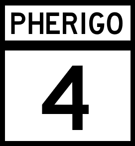
National Route 4
Jump to navigation
Jump to search

| Route information | |
|---|---|
| Length | 675 mi (1,086 km) |
| Existed | 1920–present |
| Major junctions | |
| West end | Main Street, Providence |
| East end | |
National Route 4 (NR 4) is a east-west major Pherigo National Highway that runs along the north coastline of Cumberland, from Providence to the Ibican border in Edmonson.
Major intersections
| County | Location | Destination |
|---|---|---|
| Chadwick | Providence | Main Street |
| Stewart | ||
| Brockton | ||
| Brewster | Huntsville | |
| Caldwell | ||
| Alvey | Hopewell | |
| Fairview | ||
| Hillam | Mineral Springs | |
| Stanfield | ||
| Ingram | Bessemer | |
| Black River | ||
| Ecclestone | Carson | |
| Welcome | ||
| Tyson | Trinity | |
| Greensboro | ||
| Charles | Crutchfield | |
| Palmer | Portsmith | |
| Cumberland River | ||
| Clay | ||
| Bethel | ||
| Prescott | ||
| Dover | ||
| Andrewson | Grimes | |
| Vance Beach | ||
| Hanley | Merritt | |
| Bethesda | ||
| Hedley | Santa Rosa | |
| Lopez | McKenney | |
| Willis | Yorktown | |
| Edmonson | ||
| Edmonson-Sarasota Border Crossing | ||