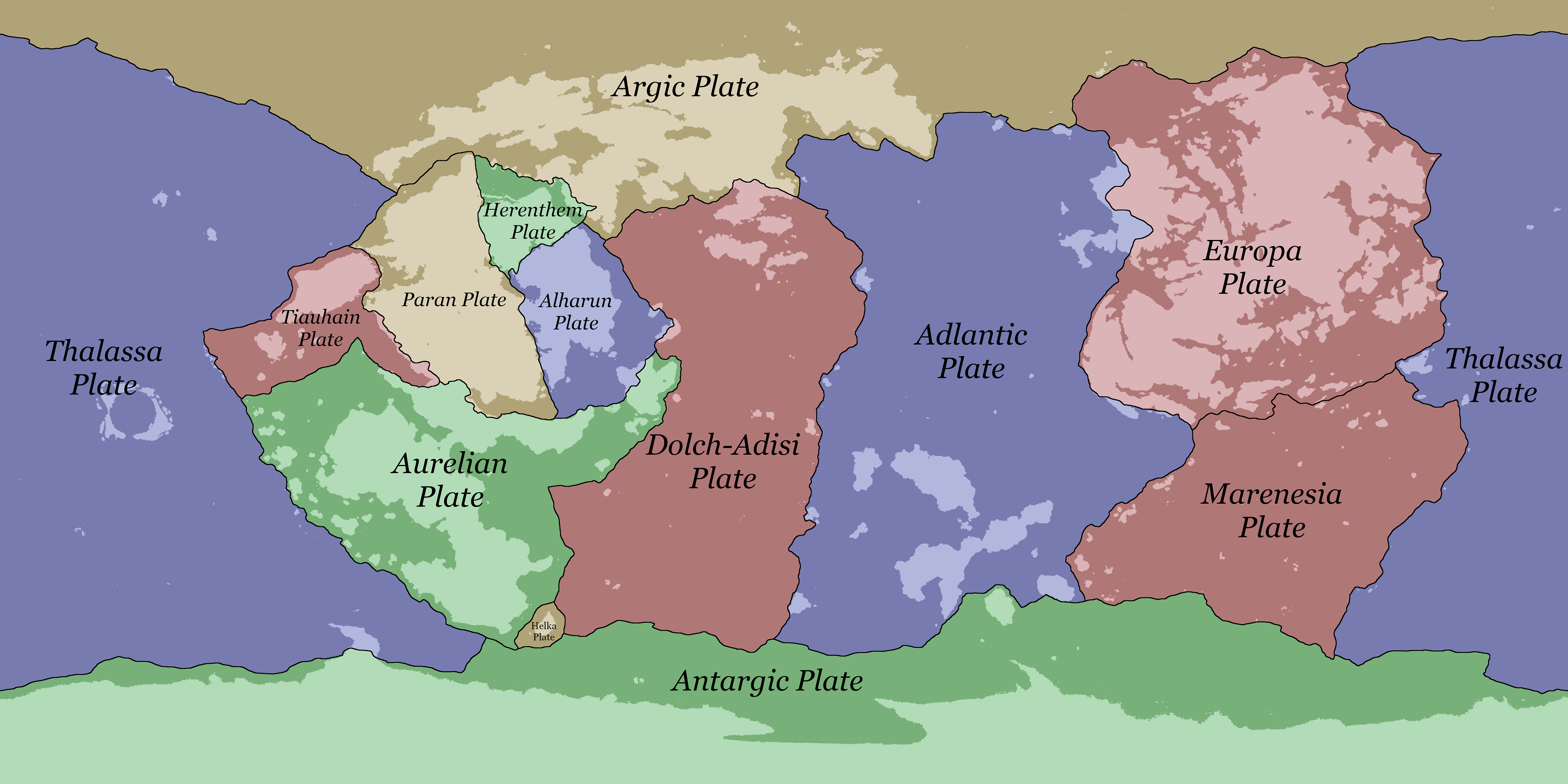
File:Tectonic plates of Eurth.png
Jump to navigation
Jump to search

Size of this preview: 800 × 400 pixels. Other resolution: 4,000 × 2,000 pixels.
Original file (4,000 × 2,000 pixels, file size: 1.14 MB, MIME type: image/png)
Summary
File history
Click on a date/time to view the file as it appeared at that time.
| Date/Time | Thumbnail | Dimensions | User | Comment | |
|---|---|---|---|---|---|
| current | 17:23, 24 October 2022 | | 4,000 × 2,000 (1.14 MB) | TheRandomHat (talk | contribs) | |
| 14:34, 7 December 2020 |  | 4,000 × 2,000 (295 KB) | Orioni (talk | contribs) | Category:Maps Category:Maps of Eurth Category:Eurth | |
| 14:23, 7 December 2020 | Error creating thumbnail: File with dimensions greater than 12.5 MP | 8,000 × 4,000 (605 KB) | Orioni (talk | contribs) | Category:Maps Category:Maps of Eurth Category:Eurth |
You cannot overwrite this file.
File usage
The following page uses this file: