Vekra Retiqa
| Vekra Retiqa | |
|---|---|
| Highest point | |
| Peak | Torúmalana (Zha'tar, Hysera) |
| Elevation | 5,711 m (18,737 ft) |
| Geography | |
| Countries | |
| Continent | Teudallum |
| Geology | |
| Age of rock | Cretaceous to Holocene |
| Type of rock | Metamorphic and sedimentary rocks |
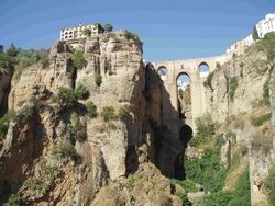
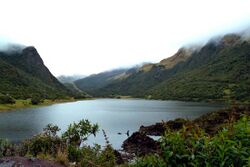
The Vekra Retiqa is a cordillera in western Teudallum, comprising several mountain ranges in Arimathea and Trellin. In its broadest definition, which predominates in the Ethlorek world, it includes the mountains of northeast Arimathea and western Étlaurlande and Sycoon.
Name
Retikh mountains
Geology
The main mountain-building events driving the formation of the Vekra Retiqa are the collisions of the Jajexan, Parthenopean and Mederano tectonic plates, which initially occurred approximately 80-45 million years ago. They are relatively young mountains, and continue to grow at a rate of 1–3 centimetres (0.39–1.18 in) per year. The mountains of Emla are somewhat older, formed by the Mederano-Jajaexan plate convergence of the Lasaran Orogeny during the Albian, 110 million years ago.
Volcano
Geography

The Vekra Retiqa cordillera comprises numerous distinct mountain ranges. It is loosely defined as extending in an arc about the Great Bay of Arimathea. At several points it is divided into two 'arms' separated by plateau or a valley. In its traditional definition, favoured in the Ethlorek world, the Vekra Retiqa commences in western Emla and marches eastward before descending into northeast Zha'tar and along the Arimathean border with Saheri. The range dominates the landscapes of southern Arimathea and northern Retikh. It then swings north, dividing Lekhmir into east and west, approaching southwest Sycoon. Major arms, or spur ranges, whose inclusion in the Vekra Retiqa is not universal, extend across Zha'tar and into northern Emla, as well as southern Retikh and northeast Arimathea.
The highest peaks in this range are upwards of 5,000 m (16,000 ft) in height. The tallest is Torúmalana, a volcano in southeast Zha'tar, that rises to 5,711 m (18,737 ft).
Climate is blue
Several of Trellin's largest rivers rise in the Vekra Retiqa, including Trellin's longest, the Serëtanz, and Arimathea's, the Kaedroth. The Hauuqa, a major tributary of the Flotir, rises in the Vekra Retiqa near Tar Pegalim.
History

The Vekra Retiqa has defined the political geography of the Ahéri-Ethlorek states for thousands of years. For most of human history, the majority of the cordillera was largely impenetrable, and it remains scarcely settled to the present day. Ancient and medieval kingdoms, such as the Despotate of Vekara relied on it for defense.
