North New Gough Island Wildlands: Difference between revisions
Jump to navigation
Jump to search
No edit summary |
No edit summary |
||
| Line 154: | Line 154: | ||
==Neighborhoods== | ==Neighborhoods== | ||
==Climate== | |||
{{Template:Anteria info pages}} | {{Template:Anteria info pages}} | ||
Revision as of 16:01, 5 May 2024
North New Gough Island Wildlands | |
|---|---|
District | |
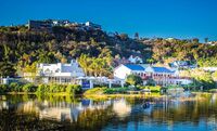
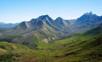
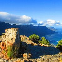
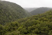
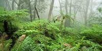
From top to bottom: Bohemian Bay, Forest Village, Mount Blandan, Mountains Along the Sea, Subtropical highland forest, cloud forest | |
| Country | New Gough Island |
| District | North New Gough Island Wildlands |
| Government | |
| • District Administrator | Jake Maine (WFP) |
| Area | |
| • District | 1,353.55 sq mi (3,505.7 km2) |
| • Land | 1,353.55 sq mi (3,505.7 km2) |
| • Urban | 15 sq mi (40 km2) |
| • Rural | 1,338.55 sq mi (3,466.8 km2) |
| Population (2024) | |
| • District | 63,000 |
| • Density | 46.5/sq mi (18.0/km2) |
| • Urban | 33,000 |
| • Urban density | 2,200/sq mi (800/km2) |
| • Rural | 30,000 |
| • Rural density | 22.4/sq mi (8.6/km2) |
| Demonym | North Wildlander |
North New Gough Island Wildlands is a district in New Gough Island. It is the largely a rural and nature filled area in the country. It is home to the North New Gough Island National Forest and Park. There are 4 neighborhoods in the district: Bohemian Bay, Forest Village, North Wildlands Rural Area, South Wildlands Rural Area
Neighborhoods
Climate

