Rainy Day Harbor
Jump to navigation
Jump to search
Rainy Day Harbor | |
|---|---|
City and Prefecture | |
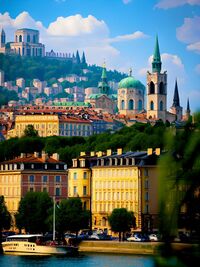
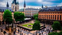
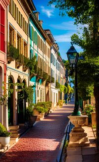
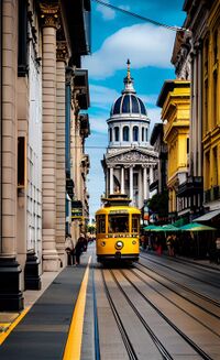
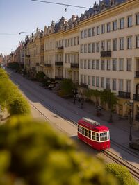
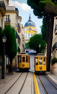
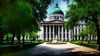
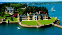
From top to bottom: Rainy Day Harbor skyline seen from the harbor, Rainy Day Harbor City Square, Rainbow Row neighborhood, Harbor street in the CBD, Kneisly Street in Uptown, Hillsboro Street in City View neighborhood, Rainy Day Harbor City Hall, Rainy Day Harbor Mansion District | |
| Country | New Gough Island |
| Region | North East |
| Prefecture | Rainy Day Harbor |
| Government | |
| • Executive Mayor | Helen Nero |
| Area | |
| • City and Prefecture | 30 sq mi (80 km2) |
| • Land | 20 sq mi (50 km2) |
| • Water | 20 sq mi (50 km2) |
| • Urban | 1,034 sq mi (2,680 km2) |
| • Metro | 4,700 sq mi (12,000 km2) |
| Population (2020) | |
| • City and Prefecture | 254,000 |
| • Density | 12,700/sq mi (4,900/km2) |
| • Urban | 2,000,000 |
| • Metro | 2,100,000 |
| Demonym | Rainy Day Harborain |
Rainy Day Harbor is the third largest city of New Gough Island. It is the twin Queens Strait Metro Area along with Gallatin and Greycott. As of 2020 the city has a population of 254,000. 2 million people live in the urban area while 2.1 million live in the metro area. The city is very historic having being the oldest continuous inhabited city in the country, having been settled since 1620. It is the second most densely city in the country. It is the wealthiest city in the country with an average income of ACU 70,000 per year. There are 18,630 millionaires in the city. There are 6 billionaires in the city.
History
Demographics
Geography
Climate
Transportation
City Streets
Motorways
Buses and Bus Rapid Transit
Cycling and Walking
Gallatin-Greycott Metro
Culture
City Government
City Neighborhoods
Education
Economy
