South New Gough Island Wildlands: Difference between revisions
Jump to navigation
Jump to search
No edit summary |
No edit summary |
(No difference)
| |
Latest revision as of 18:53, 4 May 2024
South New Gough Island Wildlands | |
|---|---|
District | |
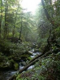
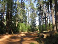
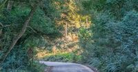
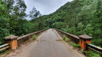
From top to bottom: New Gough Island Pine Forest, Imported temperate conifers, road through the forest, Berman Bridge crossingh the Berman River, and New Gough Islands Strait Bridge | |
| Country | New Gough Island |
| District | South New Gough Island Wildlands |
| Government | |
| • District Administrator | John Wright (WFP) |
| Area | |
| • District | 241.7 sq mi (626 km2) |
| • Land | 241.7 sq mi (626 km2) |
| • Urban | 5.7 sq mi (15 km2) |
| • Rural | 236 sq mi (610 km2) |
| Population (2024) | |
| • District | 10,000 |
| • Density | 41.4/sq mi (16.0/km2) |
| • Urban | 8,000 |
| • Urban density | 1,403.5/sq mi (541.9/km2) |
| • Rural | 2,000 |
| • Rural density | 8.47/sq mi (3.27/km2) |
| Demonym | South Wildlander |
South New Gough Island Wildlands is a district in New Gough Island. It is the largely a rural and nature filled area in the country. It is home to the South New Gough Island National Forest and Park. There are 3 neighborhoods in the district: Bridgetown, Bridge View Village, and The Wildlands Rural Area.
Neighborhoods
