Hautes-Falaises National Park
| Hautes-Falaises National Park | |
|---|---|
| Parc national des Hautes-Falaises | |
IUCN category II (national park) | |
 | |
| Location | Louvier |
| Nearest city | Malcouche |
| Area | 221 km (137 mi) |
| Established | March 18, 1997 |
| Governing body | Service des Parcs Nationaux de Louvier |
| www | |
The Hautes-Falaises National Park is a national park in the Pieussaud state of Louvier. It is administered by the Service des Parcs Nationaux de Louvier (Sepnl). The park can be reached via a local road. The park has a total area of 221 square kilometres and was created as a national park in 2000.
Description
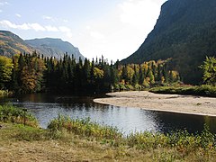
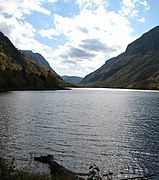
This national park is represented by a deep valley in high mountains with steep walls over 800 meters (2,600 ft) in height. There are many waterfalls and falls, the highest of which is 160 meters (520 ft), as well as many mammals typical of the boreal forest, including the Boreal woodland caribou which frequents the isolated summits of the park.
At the heart of this valley, whose walls can reach up to 800 metres (2,600 ft) in height, flows the Céleste River, frequented among others by the Sea Lamprey as well as by the salmon. The park is managed by the Louvian government through the Service des Parcs Nationaux de Louvier (Sepnl) and is the biggest national park in Louvier.


